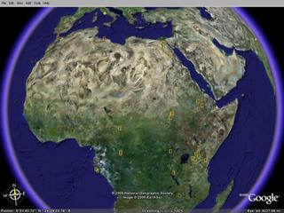
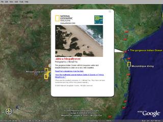
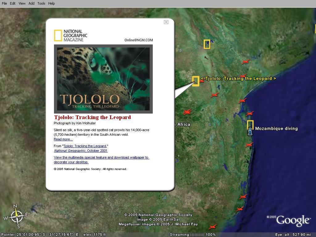
This is another elegant use of Google Earth - by enabling the National Geographic layers, you can see photos and videos from different parts of Africa.
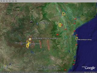
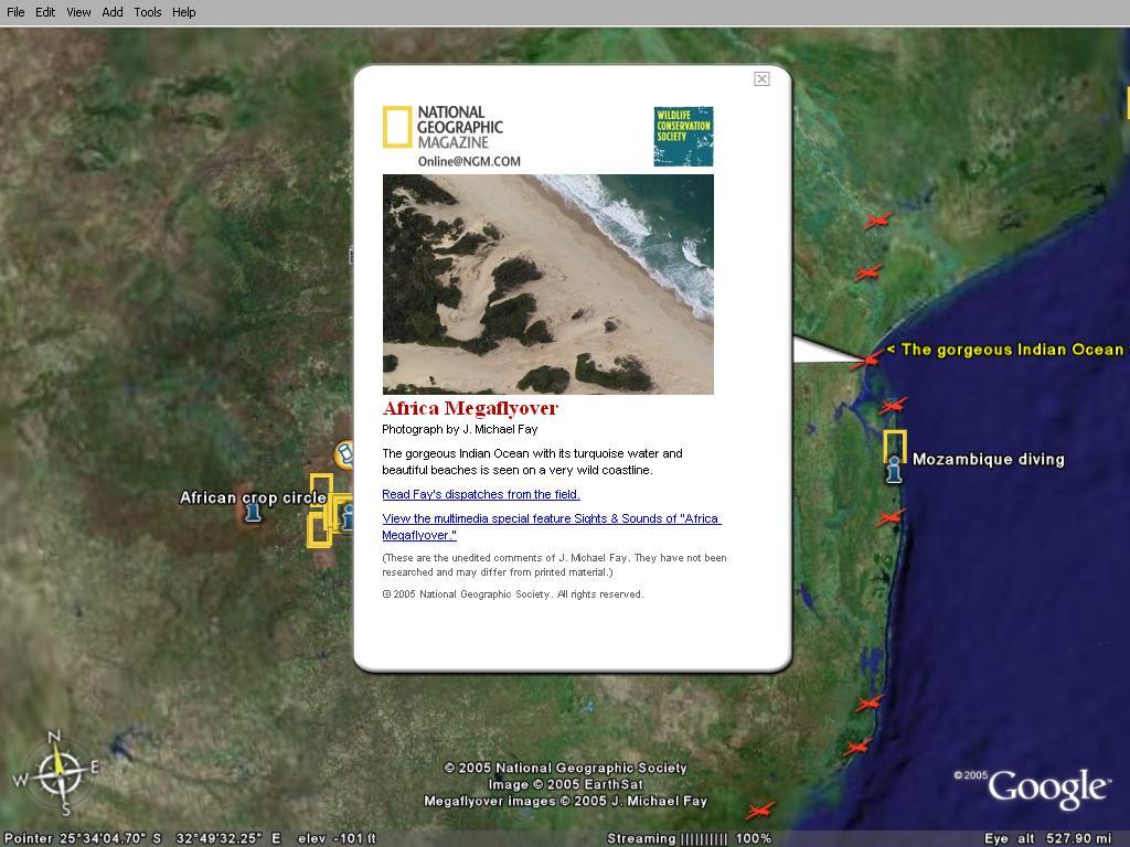
"The Megaflyover images are stunning. Mike spent more than a year taking 92,000 high resolution photographs of the continent. Look for the red airplane icons as you fly over Africa. Each of these marks a spot where a high resolution image awaits your own personal voyage." (Google Blog)
The idea is great and should be implemented for the other parts of the world as well. Do not forget to use the Keyhole Community BBS layer to get even more information.
Just hit the "F11" key to go in full screen mode of Google Earth, and to make the effect even more stunning. A broadband connection is required.

References:
The illuminated continent - Google Blog
Google Earth Blog
"The Megaflyover images are stunning. Mike spent more than a year taking 92,000 high resolution photographs of the continent. Look for the red airplane icons as you fly over Africa. Each of these marks a spot where a high resolution image awaits your own personal voyage." (Google Blog)
The idea is great and should be implemented for the other parts of the world as well. Do not forget to use the Keyhole Community BBS layer to get even more information.
Just hit the "F11" key to go in full screen mode of Google Earth, and to make the effect even more stunning. A broadband connection is required.


References:
The illuminated continent - Google Blog
Google Earth Blog